A tunnel,
unrolled flat
A road underpass about 53 metres long, inside a larger survey. A tunnel is not outlined by hand: the program recognises it by looking upward from the floor, measures it section by section, and produces the drawings a tunnel inspection needs, including the lining unrolled into a single image.
- 2 clicksfor the axis
- 212sections over 52.8 m
- 3.95 mmedian radius
- 10deliverables
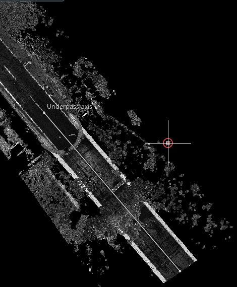
Two clicks along the road
The axis of the underpass is traced with two points, one at each end: 52.9 metres. That is all the operator draws. Everything that follows is measured from the cloud.
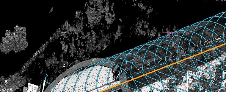
Found and measured, every 25 cm
From the axis the program finds the alignment and cuts 212 sections over 52.8 metres. The surface is resolved on 88.3% of the lining, with a median radius of 3.95 m. Alignment and sections are drawn on the cloud, and with one click they go into the CAD drawing.
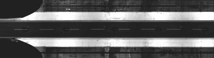
The lining, unrolled
The whole vault is unrolled into one flat image, half a degree per pixel: walls and crown side by side, with the road down the middle. Joints, stains and fittings can be read along the whole length at once.
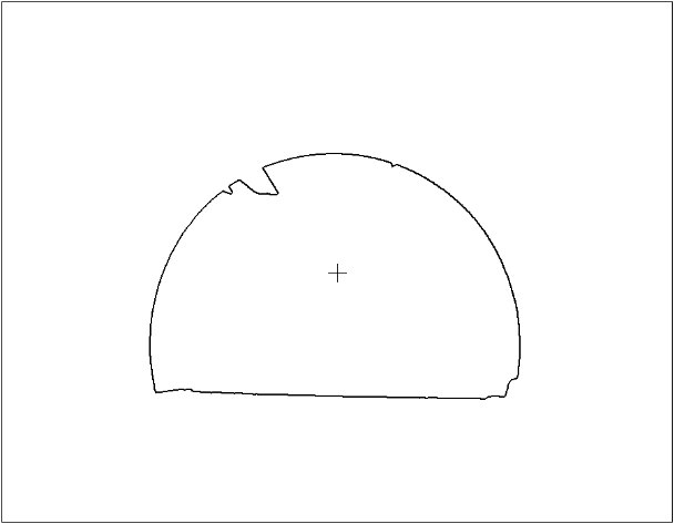
Every section, as a drawing
Each cross section becomes a clean outline every 2.5 metres, ready to be measured or compared with the design profile. A slider moves from one to the next.
The road, and the crown above it
The pavement plan at 2 cm per pixel, with the markings and the drains; the crown seen from below, the view an inspector would have looking up. Walls, longitudinal profile, portals and the plan from above complete the ten deliverables, generated together.

