A quarry,
from the cloud to the contours
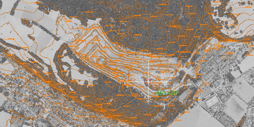
An aerial LiDAR survey of an open-pit quarry with its benches, the woods around it and a village at its foot. The job is the terrain: a ground model under the vegetation, the classes of the cloud, and the contour lines with their elevations.
- 279contour lines
- 5 minterval, index every 25 m
- 114.2 kmof contours
- 156elevations written
The ground, under the trees
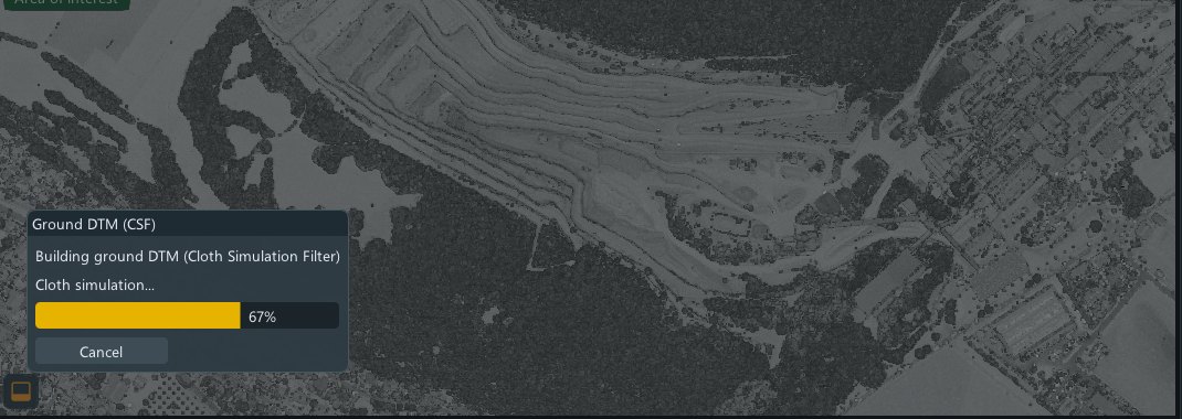
The ground model is built with a cloth simulation: a virtual sheet dropped from below settles on the lowest points and ignores trees, buildings and machinery. The work runs with its own progress bar, and can be cancelled at any moment.
The shape of the benches
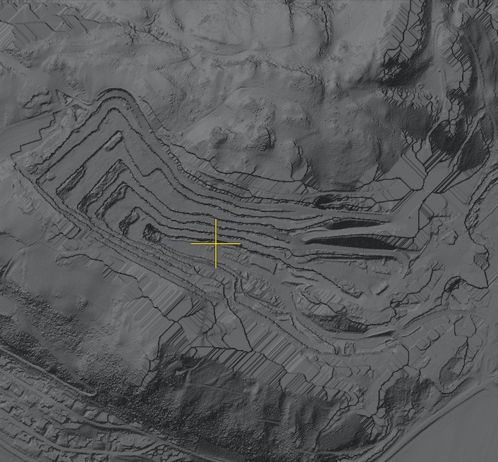
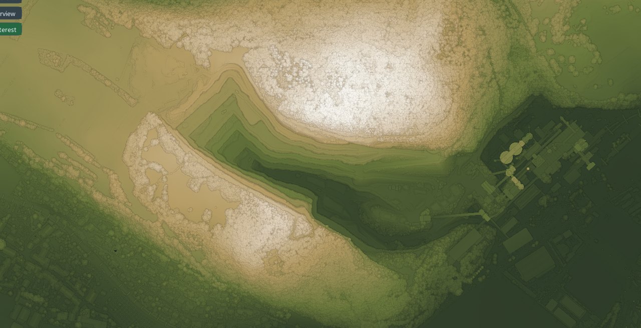
Shaded, the ground model shows the quarry as a geologist reads it: the steps of the benches, the haul roads, the edge of the pit.
Elevation, at a glance
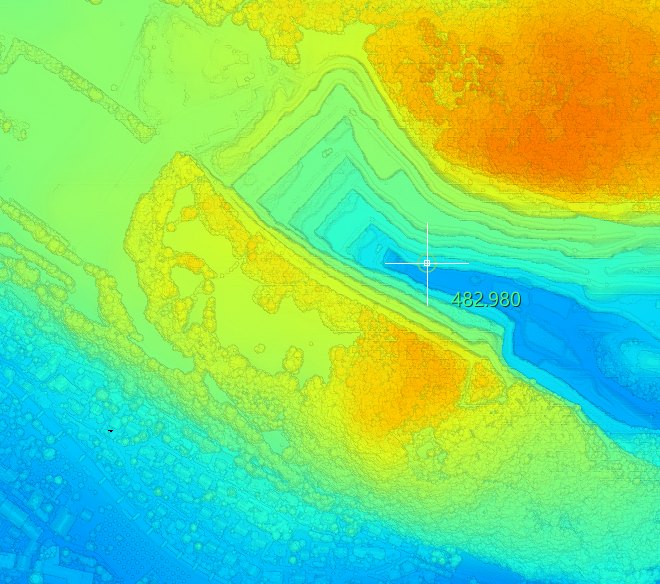
The same cloud coloured by height, with a spectrum or a terrain ramp: the bottom of the pit and the top of the hill are read without a single measurement.
What every point is
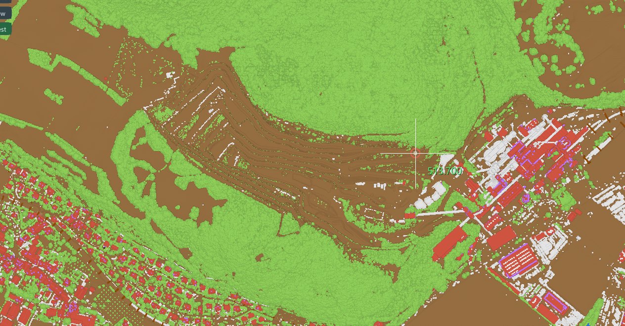
Ground, vegetation, buildings, water: the classes of the cloud, shown one by one or together. Contours are drawn on the ground only, so a tree never becomes a hill.
The contour lines
Interval 5 m, an index contour every 25 m with its elevation written on it, short fragments dropped, vertices thinned. Result: 279 contour lines, 81 of them index, 114.2 km in all, and 156 elevations written, each on its own layer of the drawing.