StereoCloud3D

LiDAR deliverables,
produced your way,
checked in stereo.

Billions of points, automatic extraction, professional stereo restitution: one program for the whole job, from the raw cloud to the sheet you sign.

Or request a trial · info@menci.com

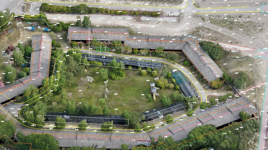
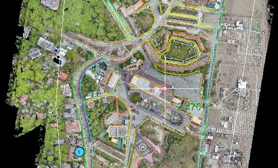
A map drawn on the cloud of a seaside town: building outlines, roads and spot heights
A map drawn on a 226-million-point drone LiDAR cloud of a seaside town.

Your way

Three ways to the same drawing

Let the program do it, draw on the screen you already have, or draw in stereo. Every tool works in all three, and they can be mixed in the same job.

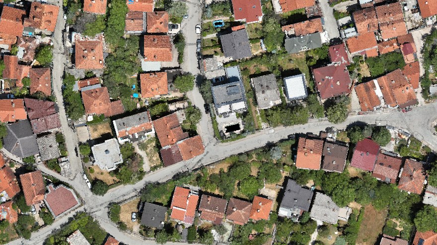
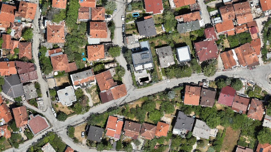
A district seen by the left eye The same district seen by the right eye

Seen in depth, the way photogrammetrists read it

For those who read the world in depth: the floating mark, the fixed professional mark, two viewpoints. The image alternates the two eyes: the roofs move against the street.

  • Active glasses
  • Beam-splitter monitors
  • Side-by-side displays
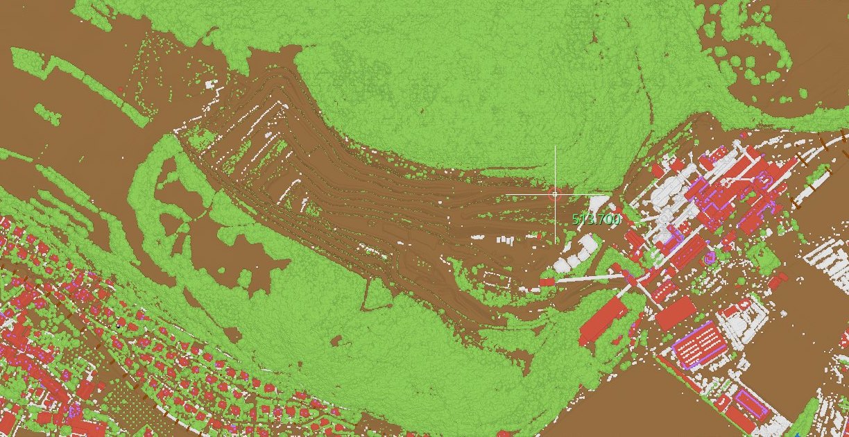
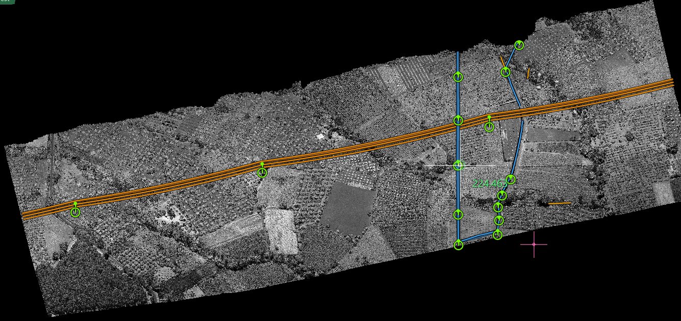
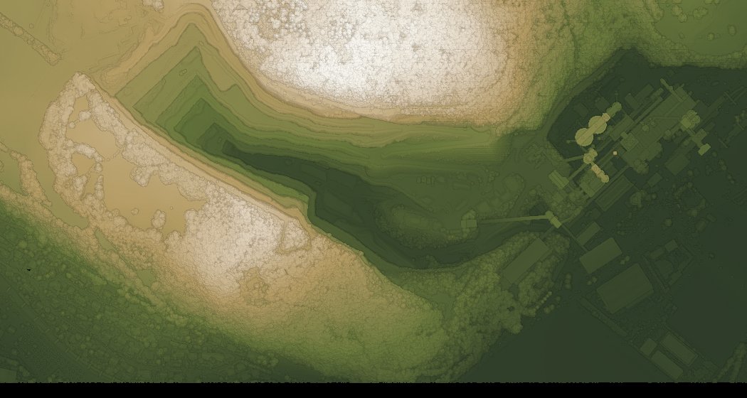
A quarry and its village classified automatically: ground, vegetation and buildings

Automatic

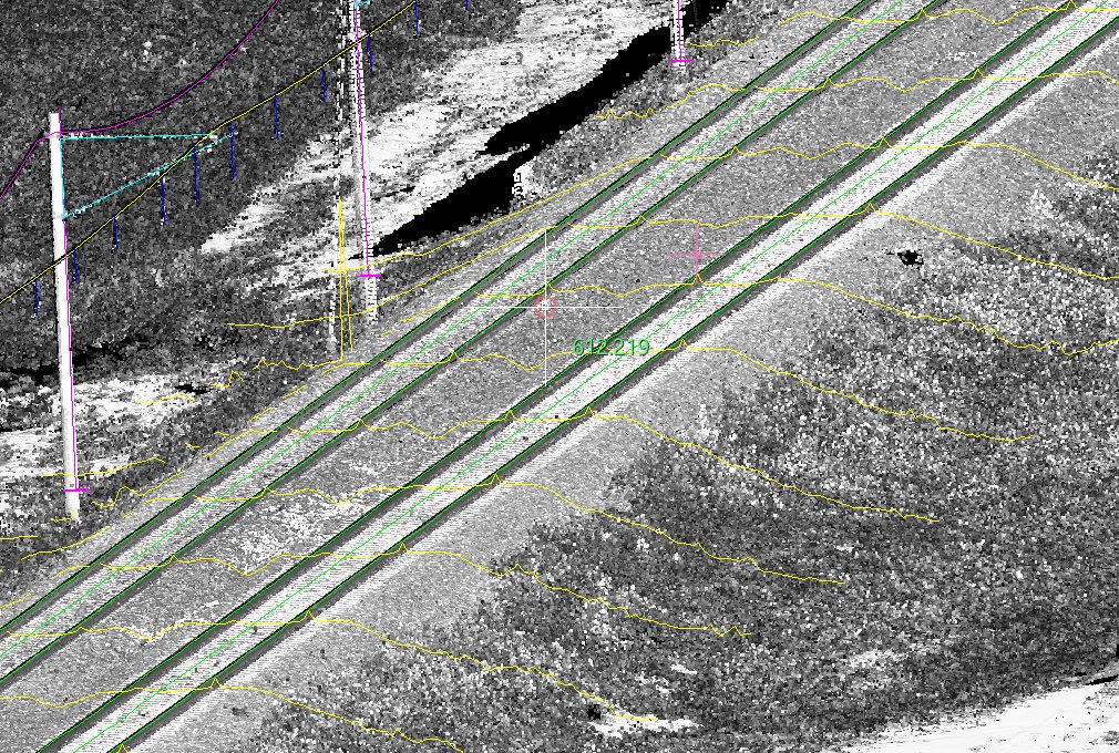
Buildings, power lines, rails, signs, carriageway edges: the program finds them and proposes them, with local or remote AI where it helps. You look, confirm or correct. Nothing is written until you say so.

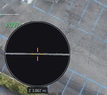
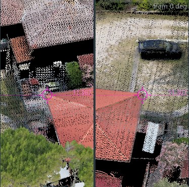
The loupe next to the cursor, showing the section of the surface under the mark Multiview: the same roof seen from two oblique angles

Mono, on any screen

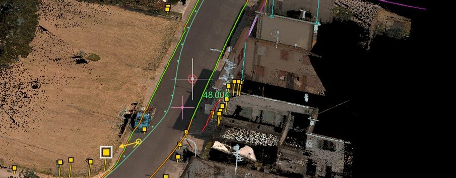
A loupe beside the cursor shows the section of the surface the mark rests on, so you always know where you are in height. Multiview shows the same point from several angles while you draw.

Stories from real work

Each story follows one job from the raw cloud to the deliverable, screen by screen. They are examples, not the limits of the program: the same tools serve any survey, automatically, in mono or in stereo. Aerial, mobile, terrestrial, photogrammetric: the tools are built on the data you actually receive, and they tell you when they are not sure.

Tell us what you survey: we arrange a demo on data like yours.

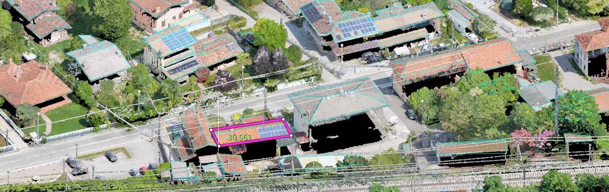
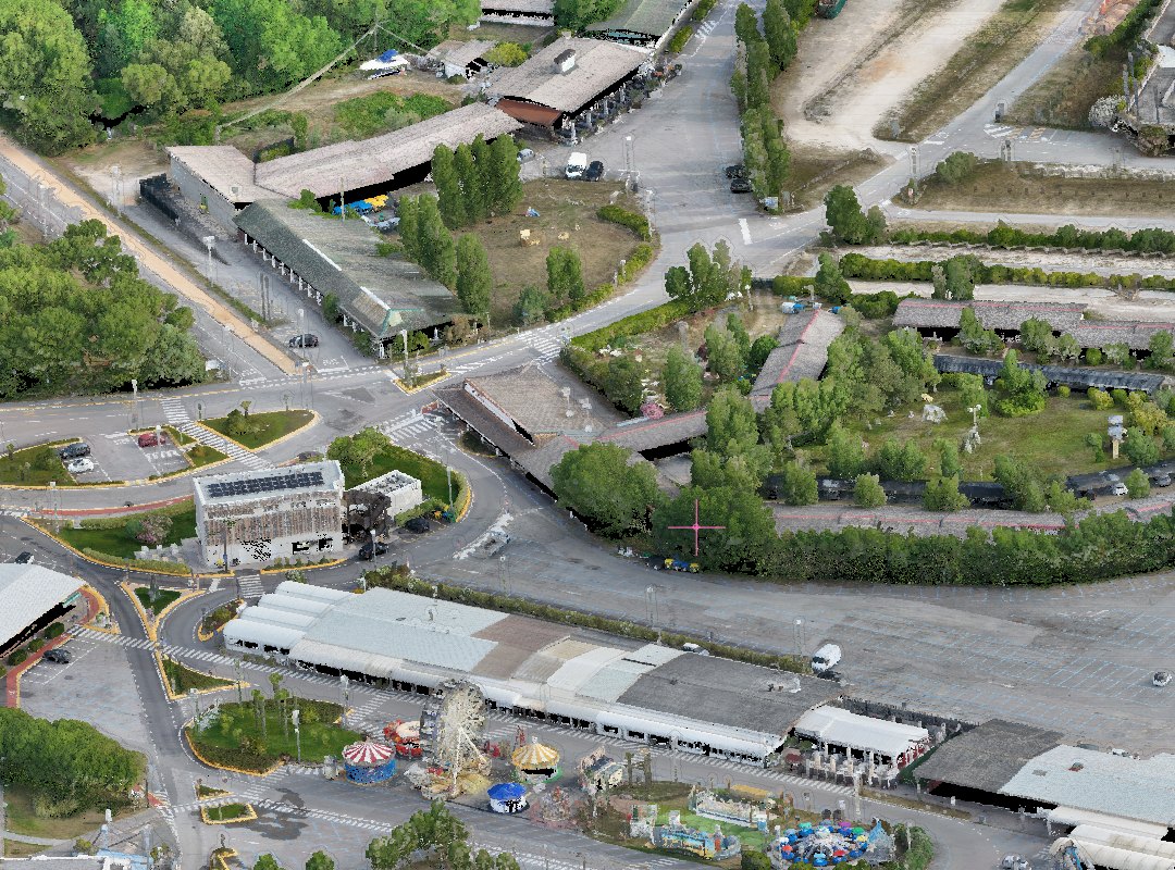
A whole town as a point cloud, seen at an angle

Scale

Billions of points.
No waiting.

The whole survey is there the moment the project opens: a town, a corridor, a quarry. You move through it as you would through a map, and it stays sharp where you look.

The seaside town in the stories alone is 226 million points.
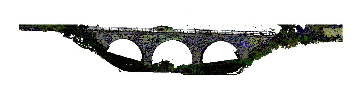
A masonry bridge placed on a print sheet

Deliverables

From the point
to the sheet you sign.

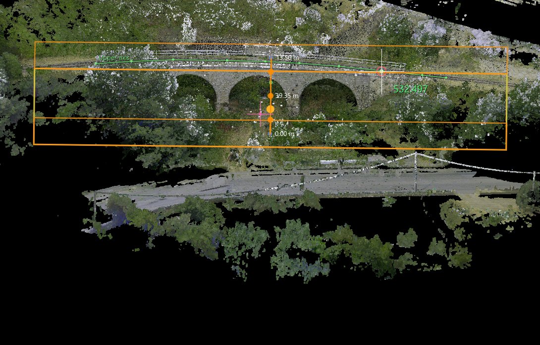
Plans, elevations, sections, tables, sheets ready for print. The program keeps track of what each job has to deliver and of what is still missing, and every number can be traced back to the points it came from.

What you need

Computer

  • Windows 10 or Windows 11, 64-bit
  • An OpenGL graphics card; a discrete GPU is strongly recommended for large clouds and stereo
  • 16 GB of memory, 32 GB or more for very large datasets; a fast SSD
  • An internet connection while the program is in use: the licence is verified online

Data

  • Reads point clouds in LAS, LAZ and E57
  • Orthophotos in TIFF, or JPG and PNG with a world file
  • Drawings in DXF and VEC
  • Writes DXF and DWG drawings and classified LAS / LAZ

Stereo, optional

  • A side-by-side 3D display or projector, such as PluraView, VoxelSpace or VIPTA StereoVisor
  • A trackball beside the mouse is strongly recommended for 3D navigation

Full requirements in the user guide →

MENCI Engineering

StereoCloud3D is developed by MENCI Engineering.

Designed by dr. eng. Luca Menci, it builds on more than thirty years of stereo restitution software, and on StereoCAD, the stereo drawing system on blocks of oriented images.

Distributed by Iter, Arezzo, Italy.

Already a customer? Download the installer with your licence key.