An overhead power line,
found from the air
An aerial LiDAR corridor across farmland, flown along a high-voltage line, with two smaller lines crossing it. The job: the ground under the wires, the conductors and their supports, and the classes of the cloud, so that spans, clearances and ground profiles can follow.
- 3lines in the corridor
- 18,903wire points in the cloud
- 7steps in one chain
- 1 buttonto run the chain
The corridor, as flown
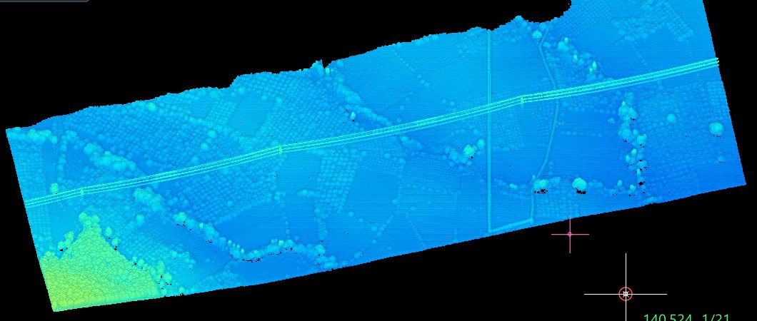
Coloured by height, the strip shows the fields, the tree rows and the wires as thin lines above them. The job lays out its own chain at the top of the screen: terrain model, automatic line search, span and support tables, ground profiles under the lines, classes, export, report. Each step can be run on its own, or the whole chain with one button.
Intensity tells the wires apart
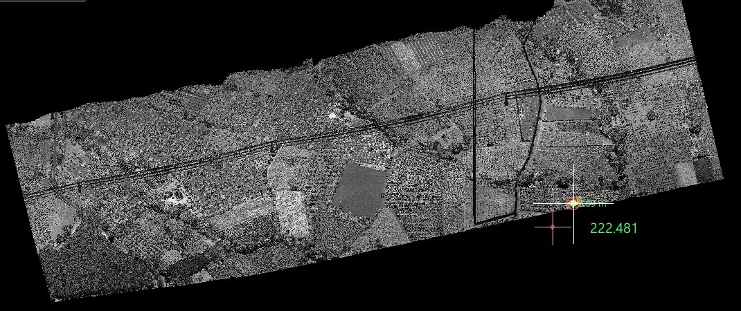
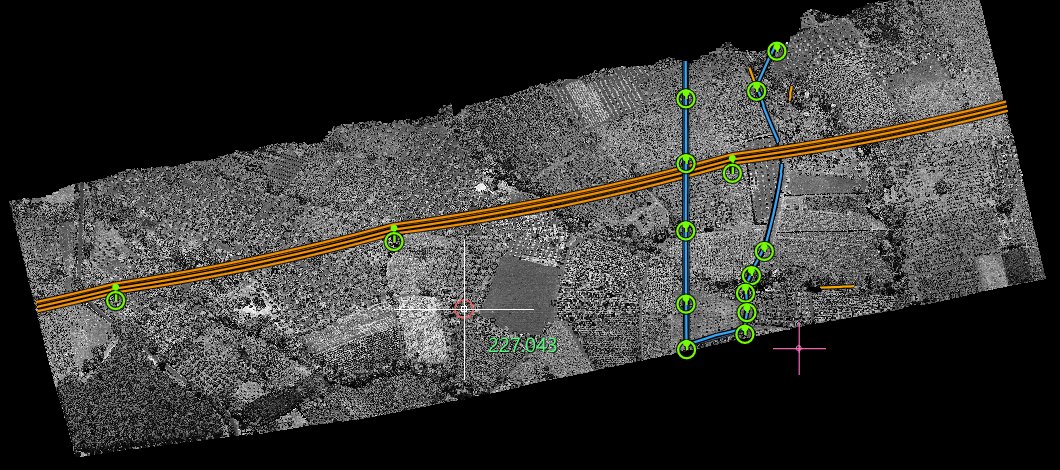
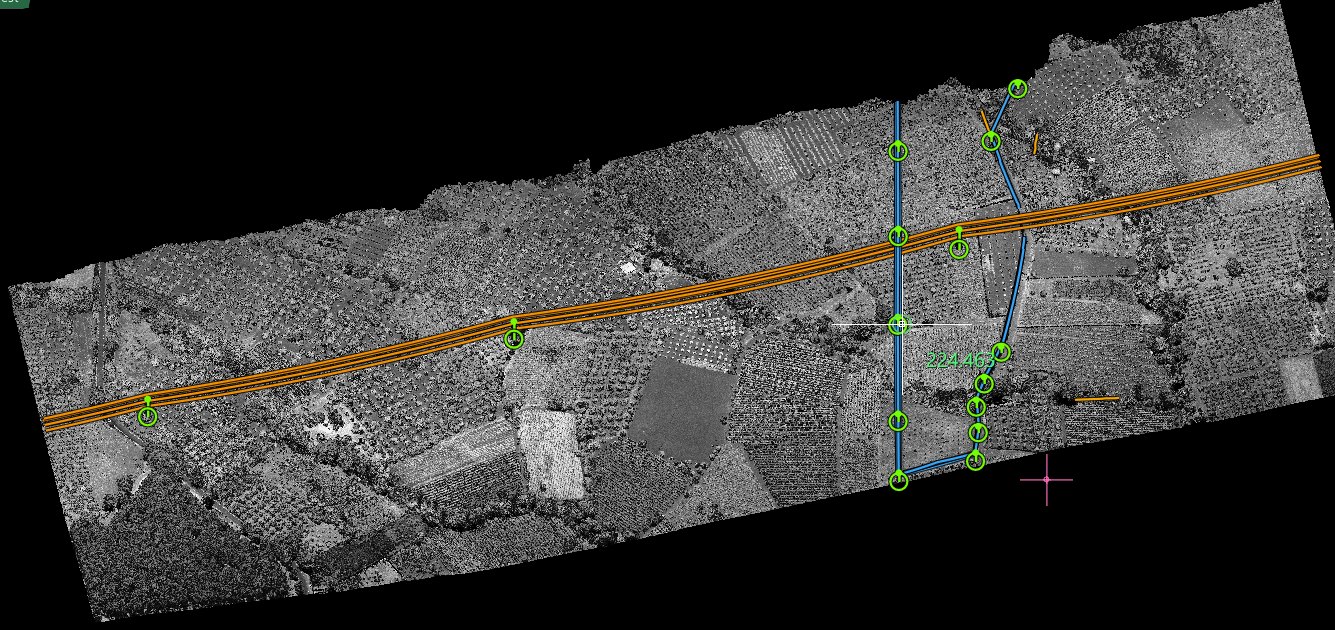
Seen by the strength of the laser return, the corridor reads like a photograph: field boundaries, tracks, the dark trace of the line across them.
First, the ground
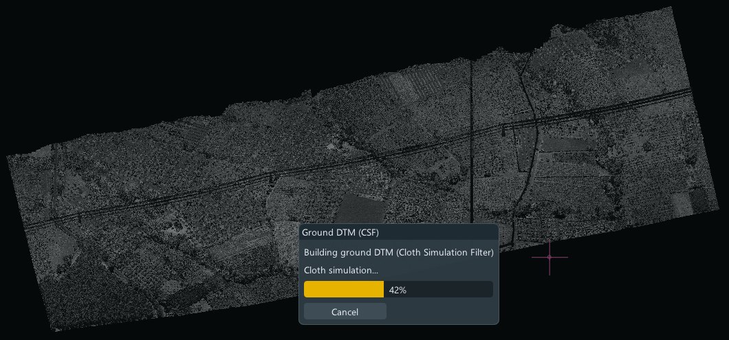
Clearances are measured from the ground, so the ground comes first: a cloth simulation builds the terrain model under the crops and the trees, with its progress shown as it runs.
Conductors and supports, found
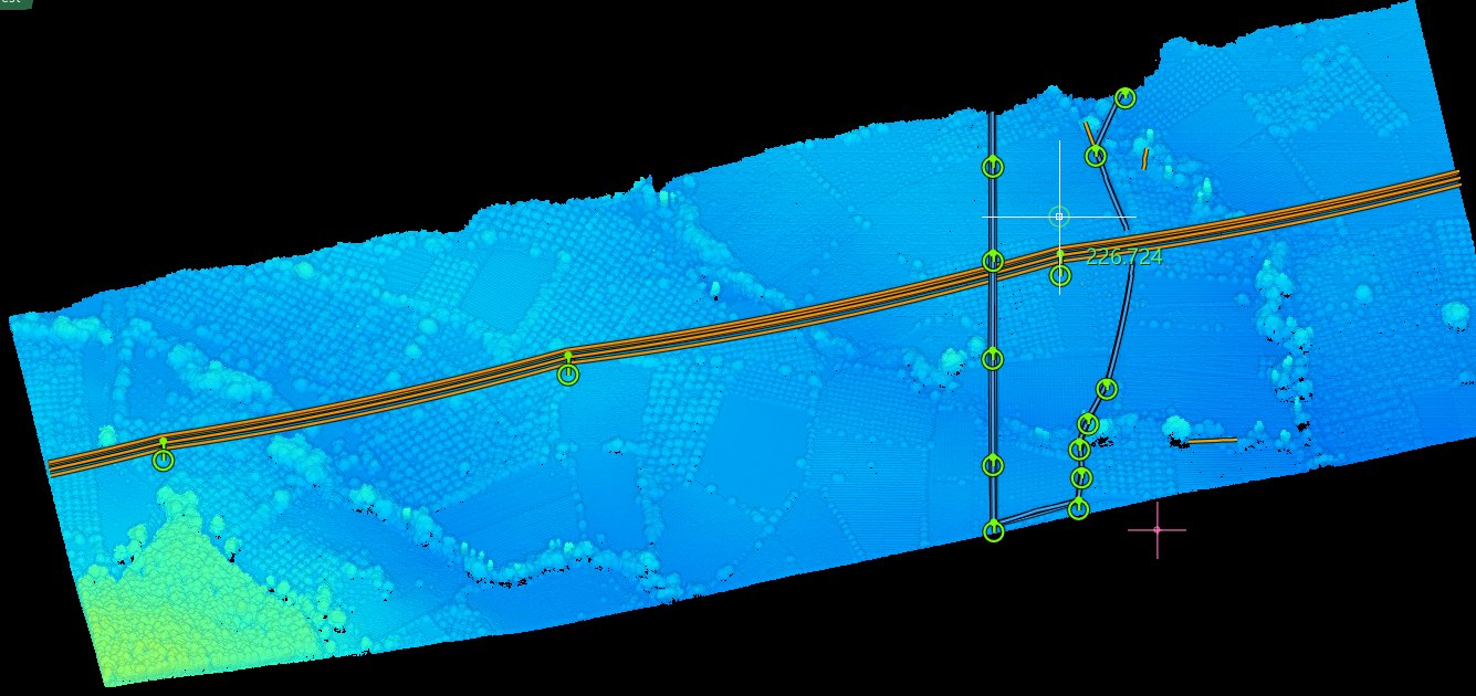
The automatic search follows the wires through the cloud and stops at every support. The main line is drawn in orange, the two crossing lines in blue, each support marked with its circle. It is a draft: the operator checks it span by span before it is written.
Every point, in its class
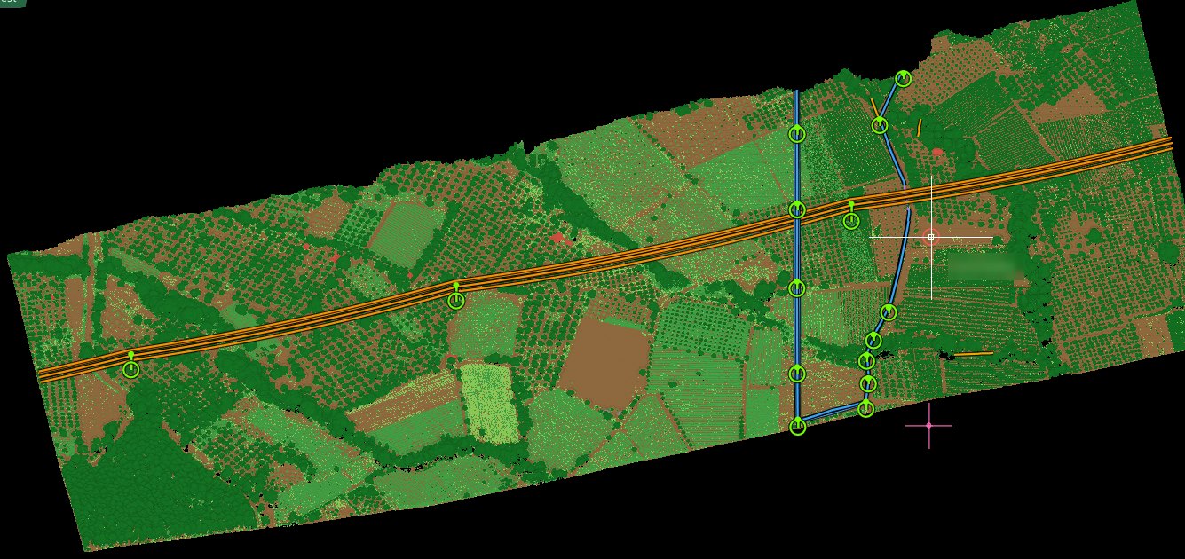
Ground, low, medium and high vegetation, buildings, wires: the classified cloud is what the tables, the clearances and the export are built on. The line drawing sits on top of it.
In the user guide: span and support tables, ground profiles →
Checked, the way you prefer
Every span can be looked at against its points: in mono, with the profile under the cursor and Multiview, or in stereo. Then the tables, the ground profiles under the lines and the classified cloud go into the delivery.